(c) Japan GSI (created by Kashmir 3D)
(c) Japan GSI (created by Kashmir 3D)
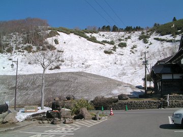 The snow wall near the spa hotel "SUKAYU" had about 10m height in spite of its rather lower altitude (884m)! |
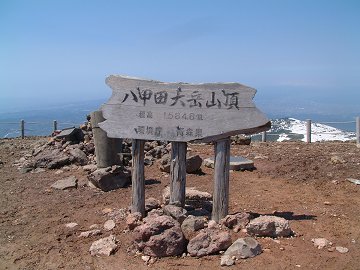
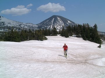
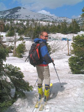
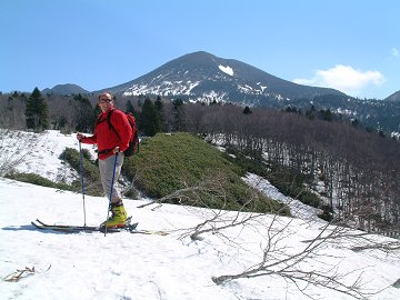 This is our today's goal Mt. Odake |
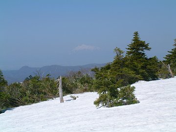 There are many local "Fujis" in Japan. Tsugaru-Fuji = Mt. Iwaki (1624.7m) |
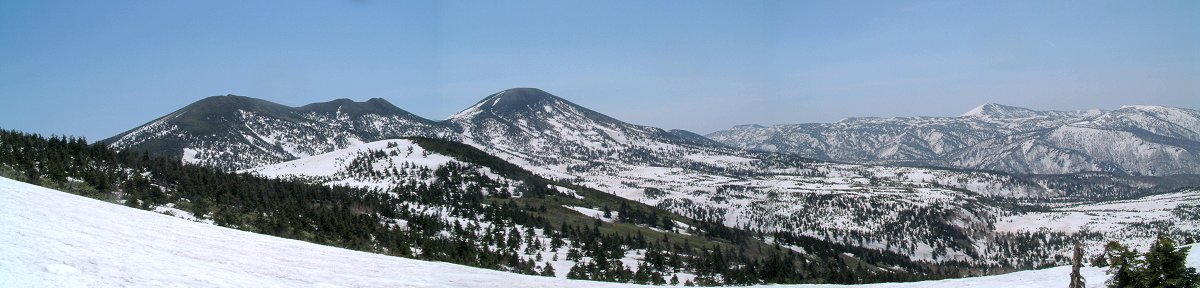
 "South-Hakkoda" on the background |
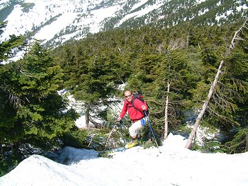 There is not much snow in this year. We had to fight with bamboo and "Aomori-Todomatsu" pine trees, but found a small snow stripe towards the peak. |
 Volcanogenic stones and ground are uncovered with snow because of strong wind at the peak. |
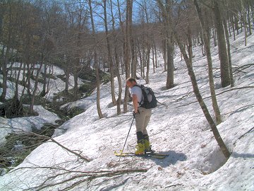
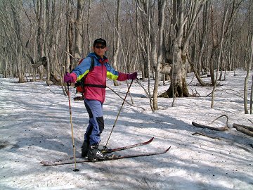 The forest had still silent winter scene. |
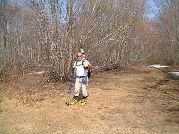 The last 200m was without snow. |
(c) Japan GSI (created by Kashmir 3D)
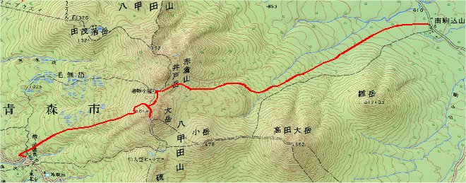
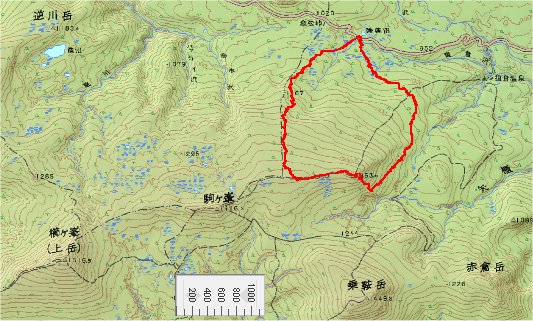
Originally it was planed today to hike around several peaks in the
south
Hakkoda area.
After reaching at the first peak it was decided to go down to east
because of too strong wind from west.
 Starting point of today at Suiren-pond |
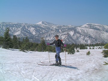
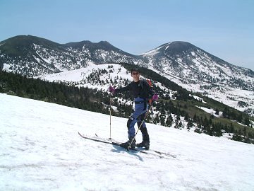
 Mt.Takadaodake (1552m) at the background. |
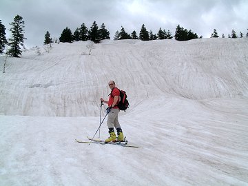 The surface of the snow was scratched by rain water. Crevasse is opening its mouth. |
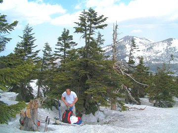 Looking for the wind shielded place. |
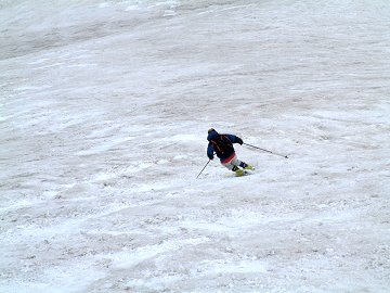 The attractive steep terrain from the peak of Mt. Sarukuradake. |
 GPS brought us to the exact starting position! |
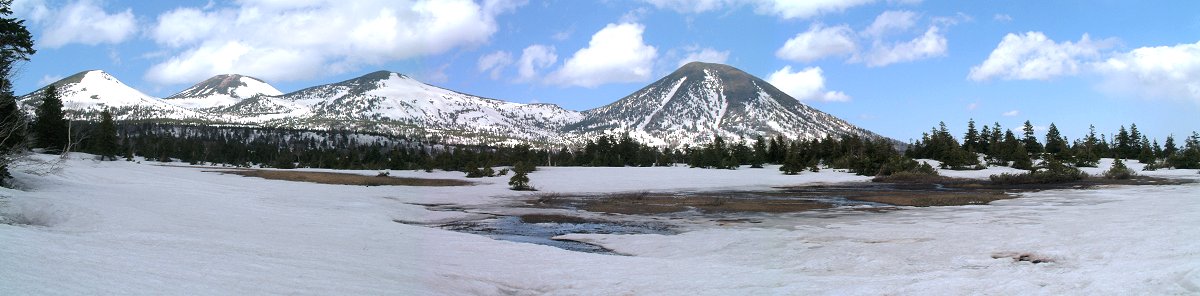
The beautiful mountains of North Hakkoda area: Mt. Iodake, Mt. Odake,
Mt. Kodake and Mt. Takadaodake
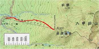
(c) Japan GSI (created by Kashmir 3D)
Today we have to go back to south.
Since the weather is so nice without wind, we wanted to use the rope
way to make the last downhill.
The rope way was so expensive that we decided to to hike up again.
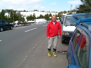
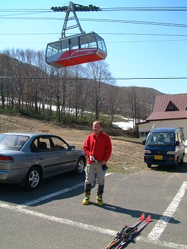 Start from parking for the expensive rope way |
 Looking for a stable snow bridge. |
 Two hours are enough to save much money !? |
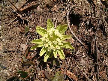 Fukinotou at the parking A symbol of spring |