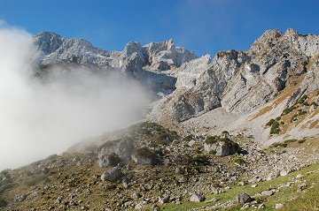
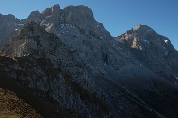
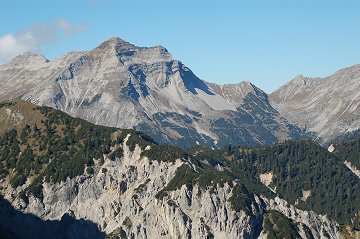
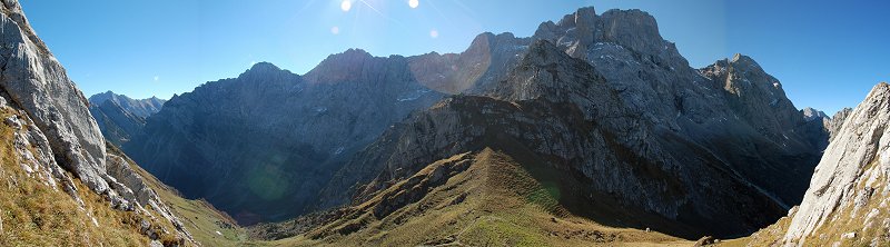
Torscharte is an ideal view point of the East Karwendel.
Somehow I thought Karwendel was very far from my reach, but today it seemed that I could touch with my hands!
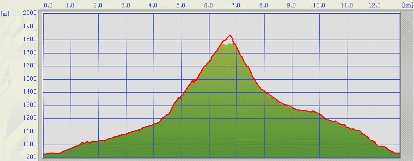
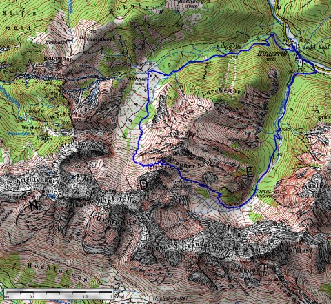
Today I tried to follow the route in the clock wise direction.
(c)Bayerische
Vermessungsverwaltung
ĀiāsānāoāTāOĀj
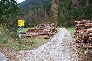
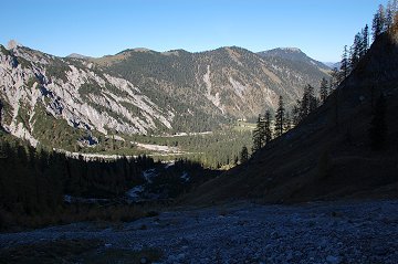
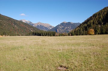
Starting from Hinterriss (bus stop Hotel Post), it takes about 5
minutes along the street to find the entry point of the route.
Be careful, the first one is for the anti clockwise direction..
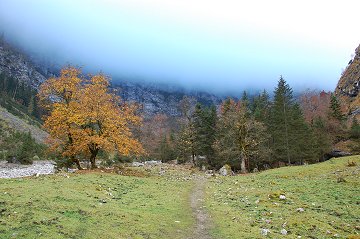
After long way along the Torbach river, the route becomes steep.
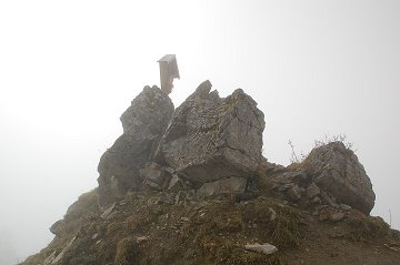
Soon you will find a small cross on a rock, where you could take a
small rest.
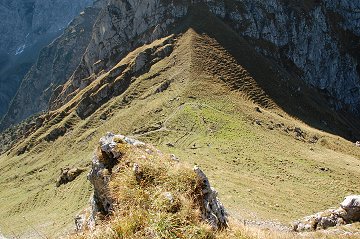
From this point, you will already see the goal.