Rotbachlsptze (2897m)

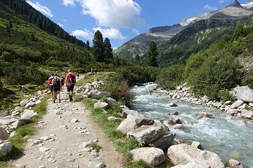
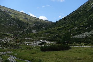
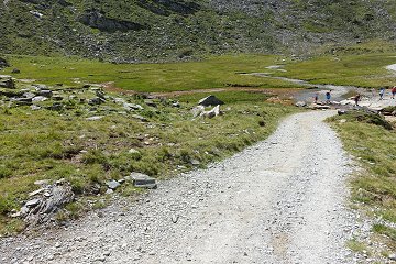
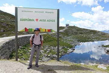
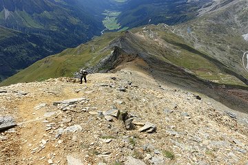
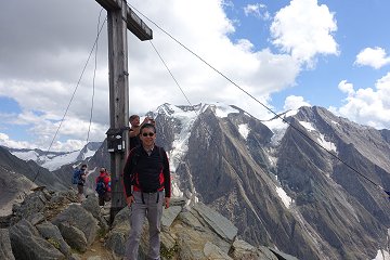
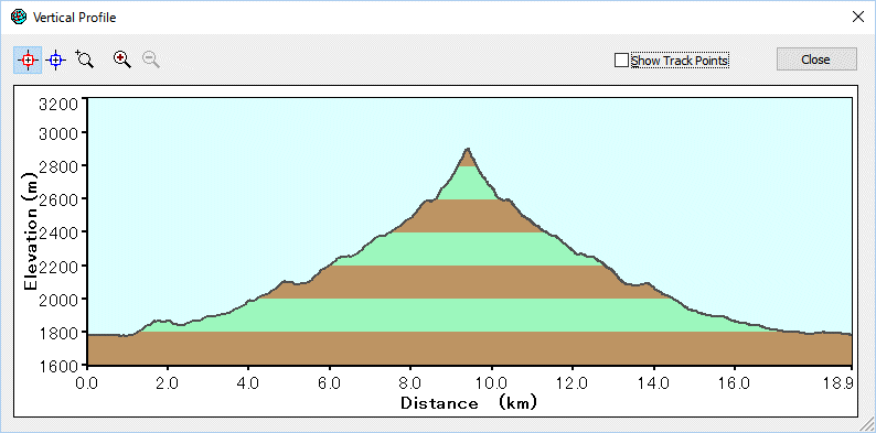
Rotbachlspitze resides just on the border between Austria and Italy.  Despite of its altitude, almost 3000m, it suits for easy one day tour from Zillertal.


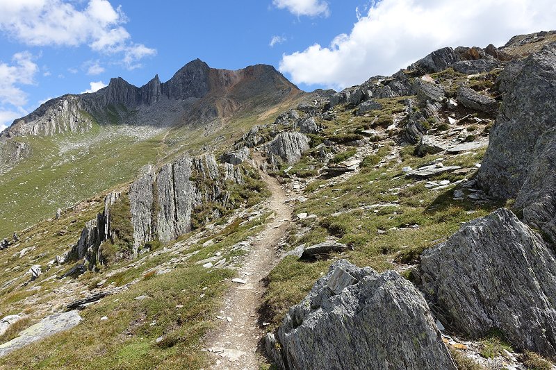
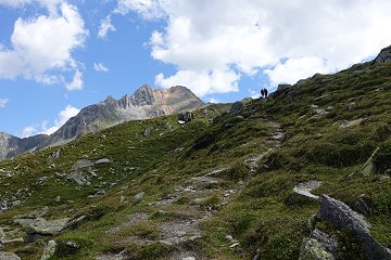
Rotbachlspitze : The right peak. View on the way from Pfitscherjoch.


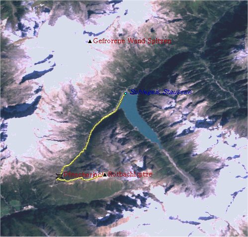
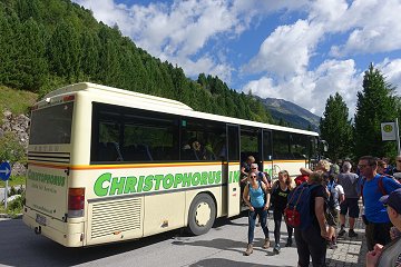
The route begins from the bus stop. (Mayrhofen - Schlegeis Stausee)


The bus stop is almost at the dam wall.

After about 1km the hiking route starts along the small stream.

The route to Pfitscherjoch is almost flat.

The red stream.

  At the border to Italy (Pfitscherjochhaus on the background)

The clibming route to Rotbachlspitze

The last steps are really steep but not difficult.

Red stones and ground

Pfitsch-valley in direction of Stelzing on the background

Nice view of the Hochfeiler

The route to Pfitscherjoch is just as a cake-walk and some mountainbikers are on the way, who have to push or bring their bikes sometime.The Pfitscherjochhaus offers a pretty short stop. The route to the peak has some different characters but is well indicated. Just under the peak is really steep but it is almost safe. The panorama view from the peak, especially onto the Hochfeiler (3510m), the highest peak of Zillertal group, is unforgettable.

The last bus departure was at 18:00 for this tour.
It is possible by car via toll road to the lake.


Data:
16.08.2016
Busstop Schlegeis Stausee (1785m, 10:25) -> Pfitscherjoch (2238m, 12:30)
Pfitscherjoch (2238m, 12:45)  -> Rotbachspitze (2897m, 14:15)
Rotbachspitze (2897m, 14:30) -> Pfitscherjoch (2238m, 15:30) -> Busstop Schlegeis Stausee (1785m, 17:10)
[Back to Hiking]