Lacherspitz

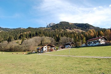
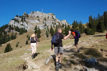
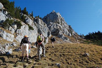
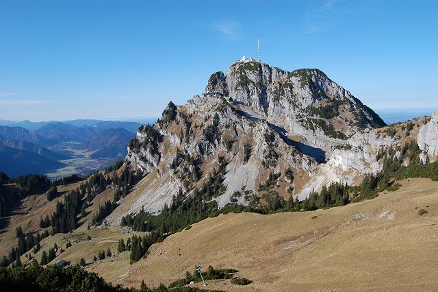
On a sunny Sunday at the end of the season, Lacherspitz next to the TV mountain Wendelstein was selected.
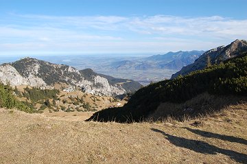
The route is completely on the sunny side.
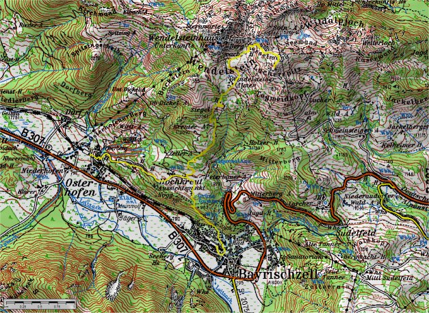
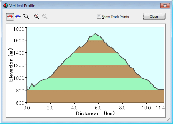

(c)Bayerische Vermessungsverwaltung  i‚s‚n‚o‚T‚Oj

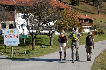
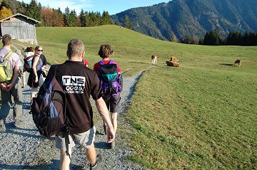
Getting out of the BOB train at the station Osterhofen, then we climbed on the farmer road to Hochkreut.
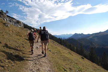
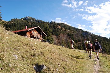
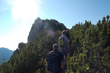
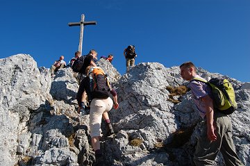
The second half of the route is mountain trail.


View on the antenna mountain from Osterhofen

Hochkreut-Alm (farm)

From the farm the mountain trail starts

Lacherspitz in the view

Wendelstein and TV antenna

Then turn to right (east) here

Chiemsee is in far away visible

Turn to right (south) to the top

Here we are

Follow the trail in Hochkreut-Alm to Bayrischzell station


Wendelstein


DataF
06.11.2011
Osterhofen Bahnhof (806m, 9:45) -> Hochkreut-Alm (980m, 10:15) -> Siegel-Alm (1330m, 11:00) -> Lacherspitz (1724m, 12:10)
Lacherspitz (13:40) -> Hochkreut-Alm (980m, 15:00) -> Bayrischzell Bahnhof (804m, 15:30)

[Back to Hiking]