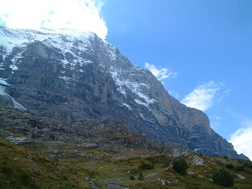
This hiking route just beneath of the Eiger north face was opened in 1997.
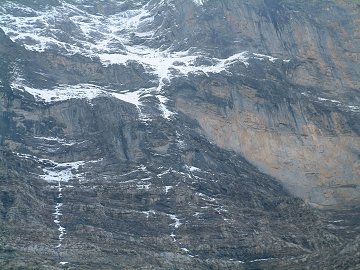
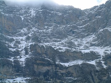
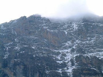
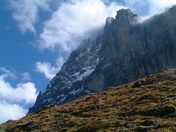
You can see the details of the north face and how great and crazy the climbers are, who tried and succeeded or lost to challenge the wall.
This route is closed as long as any danger such as valance is alarmed. It is recommended to try in autumn.
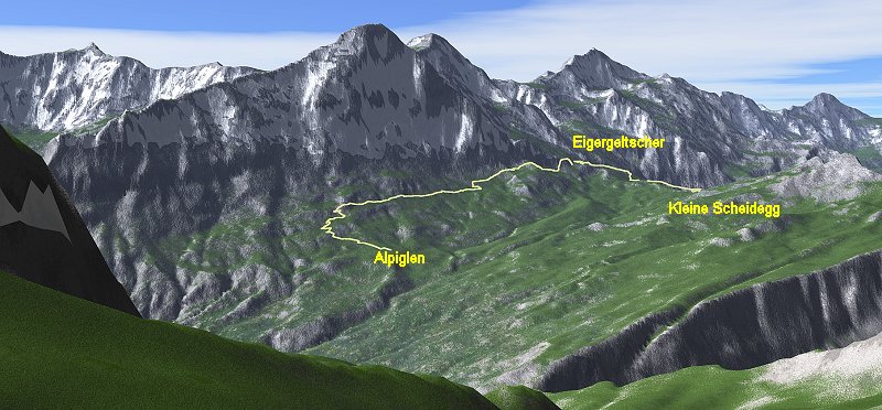
Drawn by Kashmir3D.Data Source ⓒSwisstopo DHM25
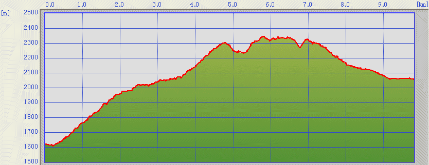
The trail starts from the rail station Alpiglen. Please make
sure if
the route is opened by an indicator at the station Alpiglen.
The route goes first to east to south east direction to earn the
height.
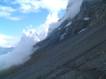
After going through 1800m line, the route changes the direction
to
west. Then the wall is becoming more and more visible.